|
| *****SWAAG_ID***** | 490 |
| Date Entered | 07/04/2012 |
| Updated on | 08/04/2012 |
| Recorded by | Tim Laurie |
| Category | Enclosure |
| Record Type | Archaeology |
| Site Access | Public Access Land |
| Record Date | 26/02/2012 |
| Location | Muker Side |
| Civil Parish | Muker |
| Brit. National Grid | SD 9067 9725 |
| Altitude | 380m |
| Geology | Springrise below sandstone outcrop over Middle Limestone series shales. |
| Record Name | Muker Side.Remains of substantial circular stone walled enclosure surrounding spring rise with alders. |
| Record Description | Remains of possible ring cairn or circular enclosure which has been severelly damaged by quarrying for dry stone field walls and by adaption (more than one adaption) to form sheep stells.
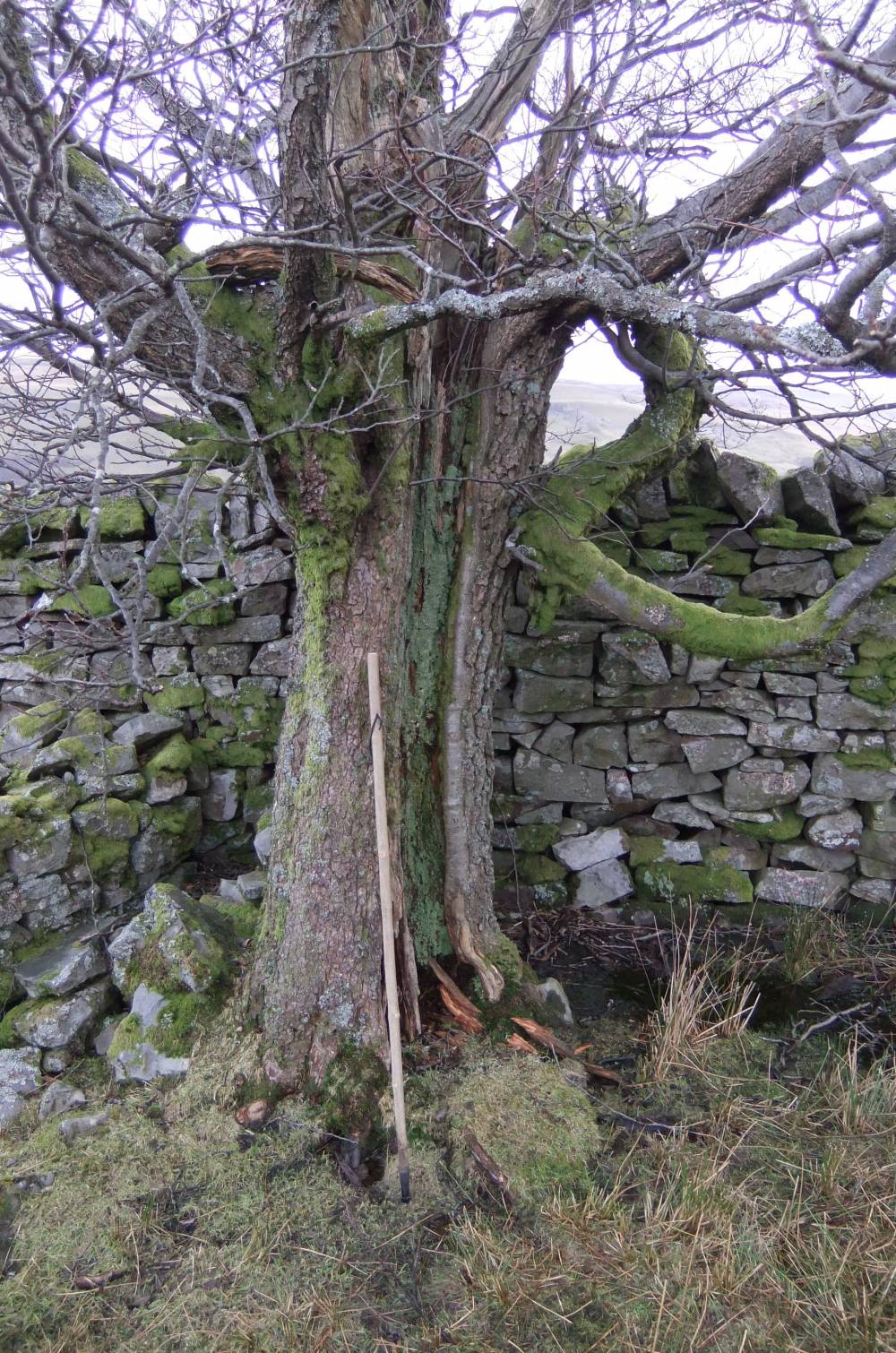
This enclosure is constructed around a spring rise guarded by an ancient alder.
The existence of a small round barrow (See SWAAG 466) some 150m to the north may add weight to the interpretation of this enclosure as a damaged ring cairn. However the fact that the ancient enclosure is faced and not stone dump mitigates against this.
There is an old record of an embanked stone circle or ring cairn in this vicinity (Audrey Burl,19XX. Thom and Thom 19XX, ?reference and date)although the coordinates given by Burl/Thom do not match and an error is possible. |
| Image 1 ID | 2581 Click image to enlarge |
| Image 1 Description | The enclosure and alders from Lane | 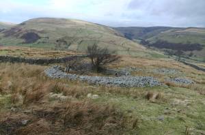 |
| Image 2 ID | 2582 Click image to enlarge |
| Image 2 Description | The enclosure and alder at springrise. | 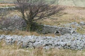 |
| Image 3 ID | 2583 Click image to enlarge |
| Image 3 Description | The sheep stell and alder | 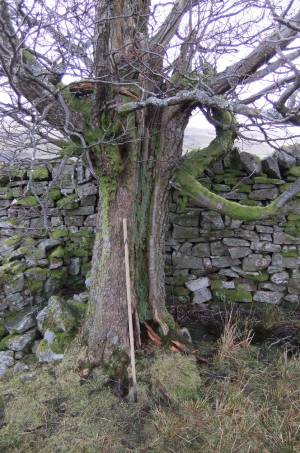 |
| Image 4 ID | 2584 Click image to enlarge |
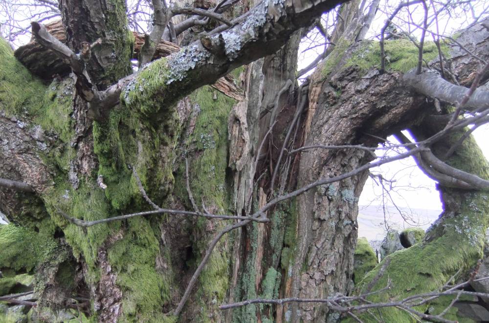
| Image 4 Description | The ancient alder detail | 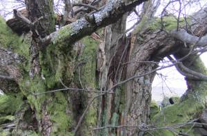 |
| Image 5 ID | 2585 Click image to enlarge |
| Image 5 Description | The sheep stell and alder, from north. | 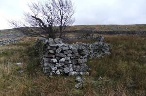 |
| Image 6 ID | 2586 Click image to enlarge |
| Image 6 Description | The Middle Limestone at outcrop 400m to the east. | 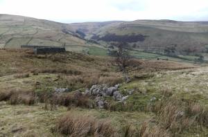 |